Precision
from above.
Drone spraying, spreading, snail baiting and multispectral mapping for the vineyards, orchards and farms of WA's South West. Inputs exactly where they're needed — and nowhere they're not.
Four services.
Every hectare covered.
From a single snail bait run to a full-season precision viticulture program — we fly it, map it, and put your inputs exactly where they earn their keep.
Snail baiting & spreading
Snail pellets, seed and granular fertiliser spread evenly at calibrated rates — metered by drone, not eyeballed from a bucket.
See the snail baiting page →Spraying
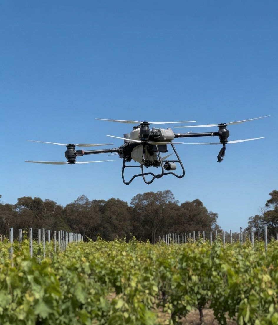
Fungicides and foliar fertiliser applied by drone — precise droplet size, low drift, into terrain a tractor can't safely reach.
See spraying →Multispectral mapping
NDVI & NDRE imagery reveals vigour and stress weeks before the eye can — block by block, vine by vine.
Enquire →Precision viticulture
We turn maps into variable-rate prescriptions that target only the zones that need it — saving on every input.
Enquire →See more than
the eye can see.
Drag the slider. The same block, two ways of seeing it — and the false-colour map on the right is where the decisions get made.
Map. Analyse.
Prescribe. Apply.
A precision loop that gets tighter every season — less waste, better timing, healthier crops.
Fly & capture
We map your blocks with multispectral and RGB sensors at cm-level accuracy.
Analyse
Imagery is calibrated and processed into clear vigour and stress maps.
Prescribe
We build variable-rate prescription maps that target only the zones that need it.
Apply
The drone executes the spread or spray — even coverage, low compaction, fast turnaround.
Let's map
your season.
Tell us about your blocks and what you're trying to achieve — we'll come back with a plan and a quote.