Precision
from above.
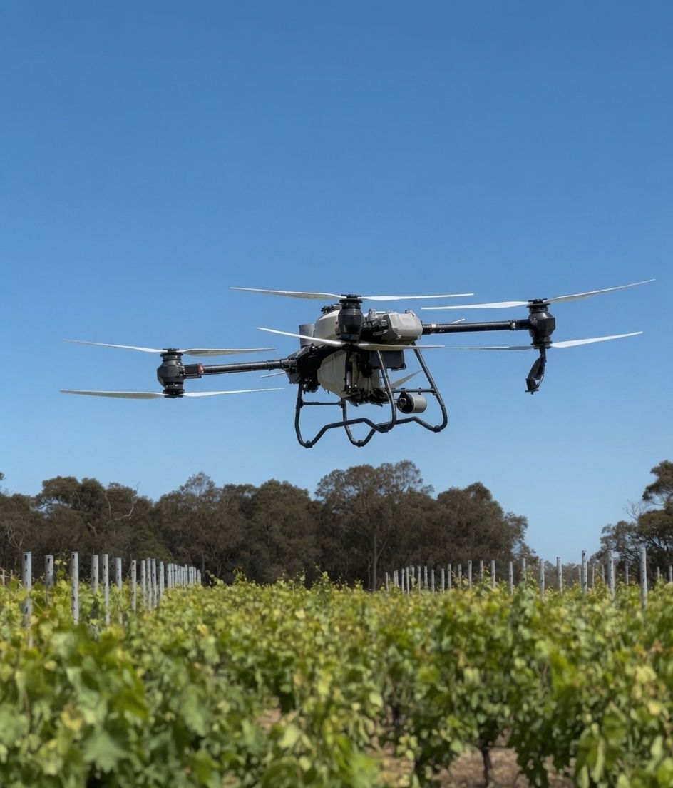
Drone spraying, spreading, snail baiting, dam sealing and multispectral mapping for the vineyards, orchards and farms of WA's South West. Inputs exactly where they're needed — and nowhere they're not.
Five services.
Every hectare covered.
From a snail bait run or a leaking farm dam to a full-season precision viticulture program — we fly it, map it, and put your inputs exactly where they earn their keep.
Snail baiting & spreading
Snail pellets, seed and granular fertiliser spread evenly at calibrated rates — metered by drone, not eyeballed from a bucket.
See the snail baiting page →Spraying
Fungicides and foliar fertiliser applied by drone — precise droplet size, low drift, into terrain a tractor can't safely reach.
See spraying →Multispectral mapping
NDVI & NDRE imagery reveals vigour and stress weeks before the eye can — block by block, vine by vine.
See mapping →Vineyard mapping
Centimetre-accurate block surveys — true area under vine, slope and elevation, missing-vine analysis and print-quality aerials.
See vineyard mapping →Dam sealing
Leaking dam? DamIt™ Dam Sealer spread evenly across the water by drone — it sinks to the floor and settles into the cracks the water's escaping through. Coverage a bloke in a boat can't match.
See dam sealing →Anyone can fly a drone.
Few can do this.
Plenty of operators will spray your block. We bring the viticulture, the proof, and the paperwork most growers spend their season chasing — so a flight becomes a decision you can stand behind.
20+ years in Margaret River vines flies every job. We're reading your canopy and conditions — not just running a flight line.
Meet the team →The DJI Agras T50 calibrated to local canopies, with coverage measured on 60 spray cards — not taken on faith.
See the proof →NDVI/NDRE zones delivered as a field app. GPS tells you which zone you're standing in, so you can ground-truth the map at the vine.
See the app →Every spray job becomes an audit-ready record that drops straight into your Sustainable Winegrowing Australia workbook.
How it works →Your spray diary,
written as we fly.
For every block, our own software logs every application — date, vine growth stage (E-L), water rate, the products and their rates, operator and method — then rolls up a product summary and the pre-harvest interval for each active ingredient. You get a block spray report that's audit-ready on first sight.
Block A — Chardonnay
- Fungicide A2 kg/ha
- Fungicide B90 mL/ha
- Foliar feed2.5 L/ha
| Product | Active ingredient | PHI |
|---|---|---|
| Fungicide A | Sulphur | 30 days |
| Fungicide B | — | E-L 25 |
See more than
the eye can see.
Drag the slider. The same block, two ways of seeing it — and the false-colour map on the right is where the decisions get made.
Map. Analyse.
Prescribe. Apply.
A precision loop that gets tighter every season — less waste, better timing, healthier crops.
Fly & capture
We map your blocks with multispectral and RGB sensors at cm-level accuracy.
Analyse
Imagery is calibrated and processed into clear vigour and stress maps.
Prescribe
We build variable-rate prescription maps that target only the zones that need it.
Apply
The drone executes the spread or spray — even coverage, low compaction, fast turnaround.
Let's map
your season.
Tell us about your blocks and what you're trying to achieve — we'll come back with a plan and a quote.